


Featured News
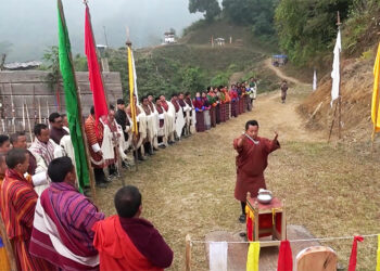
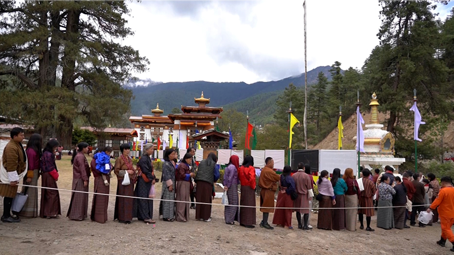
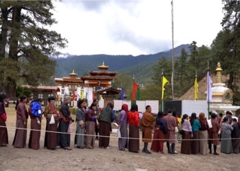
Centuries-old Londha festival in Dagana celebrates life, tradition and community
Bhutan's deep-rooted traditions and cultural heritage continue to thrive through vibrant local festivals, preserving the nation’s unique identity. Among them,...

RSPN’s drone initiative offers new hope for White-bellied Heron conservation
Drones may revolutionise White-bellied Heron conservation. The Royal Society for Protection of Nature (RSPN) tested drone technology to survey previously...
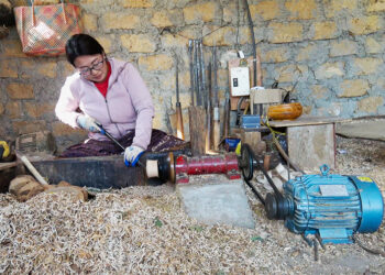
Breaking barriers in woodturning craft, Sangay Dolma’s journey of craftmanship
Being a woodturner, shaazop is not everyone’s cup of tea, especially not if you are a woman. But Sangay Dolma,...
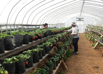
Young couple turns farming experience and training into thriving strawberry farming business, Dagana
The best ideas often stem from simple observations. This is true for a couple in Tsangkha Gewog in Dagana. After...
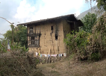
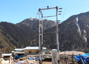
Centuries-old house in Dagana : owner in dilemma over preservation and demolition
In Khebisa Gewog of Dagana, a four-storey mud house constructed centuries ago stands as a witness to history. Now, as...

Youth embrace Dung and Jaling crafting skills for income in Pema Gatshel
While many youths from the region have moved to urban areas in search of better job opportunities, a few young...

From addiction to independence, Phuentshogling’s Happiness Centre helps rebuild lives
It is often love and persistence of the family and society that make recovering from an alcohol and drug addiction...

A centenarian’s recipe to longevity
For centenarians who have seen the world for over a hundred years, age usually is just a number. So, what...
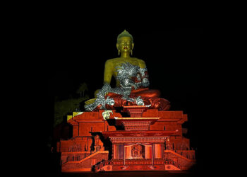
Buddha Statue comes alive with Gerry Hofstetter’s light display
The Buddha Statue at Kuensel Phodrang in Thimphu came alive last night with Gerry Hofstetter’s light art. His projections featured...

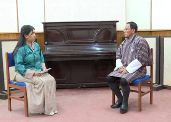
𝗥𝗲𝗺𝗲𝗺𝗯𝗲𝗿𝗶𝗻𝗴 𝗗𝗮𝘀𝗵𝗼 𝗧𝘀𝗵𝗲𝗿𝗶𝗻𝗴 𝗪𝗮𝗻𝗴𝗱𝗮’𝘀 𝗿𝗲𝗺𝗮𝗿𝗸𝗮𝗯𝗹𝗲 𝗷𝗼𝘂𝗿𝗻𝗲𝘆
Amidst the misty hills of Samtenthang village, the nation bid a heartfelt farewell to one of its most cherished sons,...


Politics

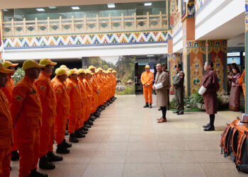
Capacity building training prepares women for future elections
To shatter cultural and social barriers that have long kept them from leadership roles, 20 young and determined women from...


Popular
-

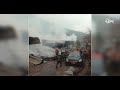
EV taxi loan defaults reach Nu 41 M, BoB seizes five EV taxis
-
Tashichhoeling Dungkhag terminates contract for delayed Peljorling HSS hostel project, Samtse
-
People call for shift in unlimited late-night data plan timing, health experts warn of long-term implications
-
RCSC extends GSP and ESP contract periods to up to five years
-
Gola Gola Bhutan faces challenges amid misuse of drop-off centres


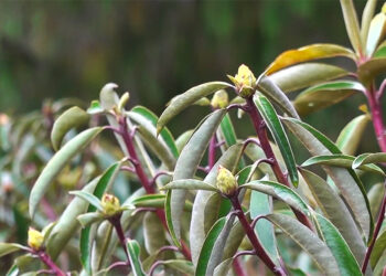
Rhododendron bloom declines, Lamperi festival sees sparse blossoms
The Royal Botanical Park at Lamperi in Punakha is seeing a decline in rhododendron blooming. The park is said to have some 40 different species of rhododendrons, which usually bloom around this time of the year. Observers during the recent Lamperi Rhododendron Festival attribute the delayed and incomplete blooming to various factors, including climate change, although this is not yet...
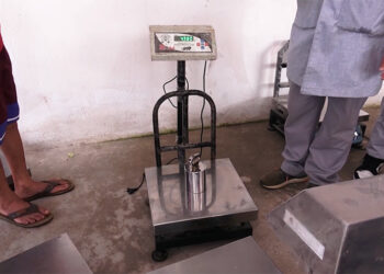
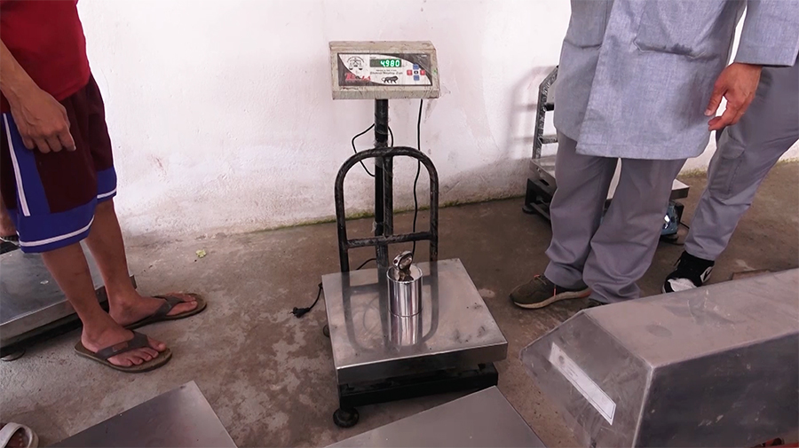
Defective fuel dispensers and digital scales found during BSB inspection
The Bhutan Standards Bureau (BSB) has flagged defective fuel dispensers and inaccurately calibrated digital weighing machines during its ongoing verification of weights and measures in four districts. The inspection which began earlier this month covers Dagana, Tsirang, Sarpang, and Zhemgang. Officials said while most of the mechanical weighing machines were found to be accurate and reliable, many digital weighing machines...
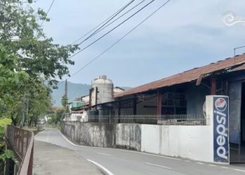
Damdara factory owners seek relocation deadline extension
Factory owners in Phuentshogling’s Damdara industrial area are calling for a deadline extension to relocate their factories to Dhamdum Industrial Park in Samtse. The Phuentshogling Thromde has set a relocation deadline for mid-next year. Worried about the time frame, business owners are planning to appeal to the prime minister. They are also asking for a freeze on the land lease...
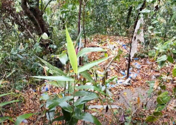
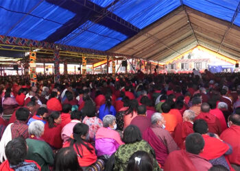
Waste issue hits Tumdra Ami Ney following Maha Shivaratri celebrations
Every year, the widely celebrated Maha Shivaratri brings thousands of devotees to Tumdra Ami Ney in Chhukha. But once the festivities end, what is left behind is a troubling sight, heaps of waste flooding the sacred site. Despite annual cleaning campaigns by authorities and volunteers, managing waste has become a challenge. It has been more than a month after the...
Bhutan Broadcasting Service (BBS) is Bhutan’s primary national broadcaster, delivering diverse news and entertainment in multiple languages, fostering cultural understanding and public knowledge.